The GEO-SAFE project, aims at creating a network enabling the two regions to exchange knowledge, ideas and experience, thus boosting the progress of wildfires knowledge and the related development of innovative methods for dealing efficiently with such fires. More precisely, the GEO-SAFE project focuses on developing the tools enabling to set up an integrated decision support system optimizing the resources during the response phase.
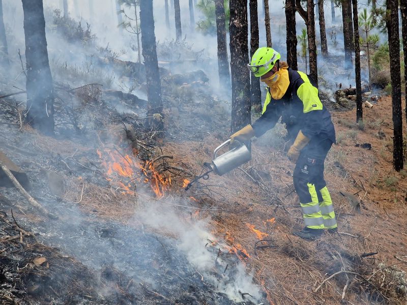
In Europe and Australia, every year thousands of square miles of forests and other lands burn due to wildfires, causing evacuation of nearby residential and industrial facilities. These fires affect the population and environment of the adjacent areas causing important economic and ecological losses, and often, human causalities.
Both European and Australian governments are aware of how crucial it is to improve wildfires management and containment. Scientists from different specialities, both in Europe and Australia, have already developed methods and models in order to improve the management and decision process pertaining to preparedness and response phases in case of wildfire.