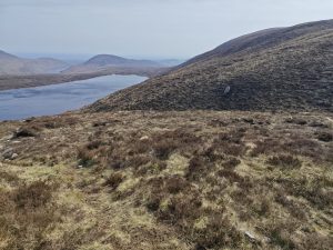
In two strategic protected areas of Catalonia —the Parque Natural del Montnegre i el Corredor and the Espacio Natural Protegido de L’Alta Garrotxa— a conflict has been identified between management objectives arising from the spatial overlap of livestock farming activities, the presence of threatened plant species, and Habitats of Community Interest. This situation, which also occurs in the so-called Strategic Management Points (PEG) designed for the prevention of large wildfires, poses the challenge of reconciling grazing with biodiversity conservation in order to build landscapes that are more resilient to climate change, less vulnerable to fires, and of greater ecological value.
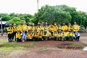
Within the framework of the “Humanity–Wildlife Initiative” of the Fondation Prince Albert II of Monaco, and in collaboration with the “Campo Grande Group” observatory of the Entretantos Foundation, this project has brought together and shared information among different territorial stakeholders to identify the main factors shaping the coexistence between extensive livestock farming and the conservation of protected natural areas. The analysis has led to the conclusion that cooperation, coordinated planning, and trust among the different actors involved are essential elements for ensuring a sustainable and balanced model.
Among the most notable aspects is the need for precise and up-to-date baseline information, both at the cartographic level —distribution of threatened species and grazing areas— and in relation to livestock characteristics and management systems. This technical foundation is considered essential for effective planning adapted to the reality of each territory. Likewise, difficulties in access to grazing land and forest areas have been identified, despite the existence of available properties in nearby مناطق. The main cause detected is the lack of communication between the actors involved, a situation that could be resolved through the mediation of forest owners’ associations, public administrations, or through mechanisms such as land stewardship agreements.

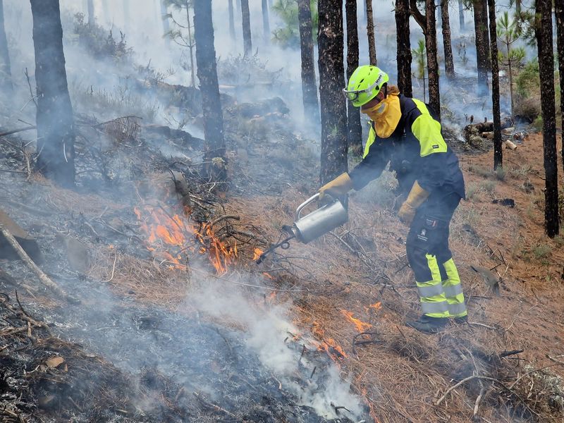
Another fundamental axis is wildfire risk management. Here, it is important to establish stable spaces for dialogue between managers of natural areas and emergency services, to develop joint landscape-scale planning that integrates fire prevention, environmental conservation, and the social values of the territory. Likewise, the need has been identified for specific conservation plans by species and territorial scope, enabling proactive management and facilitating coexistence between livestock activity and biodiversity protection. These instruments must be complemented by concrete policies to promote extensive livestock farming, grounded in historical land uses, soil characteristics, vegetation, and the specific traits of local livestock breeds.
Finally, relevant ecological processes have been identified, such as the reduction of herbaceous cover in forest areas, the progressive closure of forests, the expansion of shrubland, and the increase in invasive alien species—factors that complicate the management of natural spaces and require integrated medium- and long-term strategies. In any case, active participation in governance spaces is key to conflict resolution and to the success of coexistence processes.
The conclusion is clear. Ensuring coexistence is essential: the disappearance of extensive livestock farming projects would not only represent an economic and social loss, but also the removal of a key actor in territorial management, wildfire prevention, and the maintenance of open landscapes…